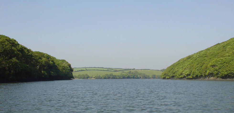
Rosemullion Head
The intertidal coastal fringe south of Rosemullion Head is of particular interest for its geology and marine biology. The bedrock platform with boulders and rockpools create an excellent range of habitats and a huge diversity of species.
Offshore between Rosemullion Head and Mawnan Shear are the Gedges, also known as the August Rock, which dry at Low Water Springs.
The rocky shore and cliffs of Rosemullion Head are the resting places of more than one shipwreck. One, the Endeavour of Exeter, was thrown onto the rocks during a gale in 1804. Her cargo of wine, linen and sailcloth were saved while the crew perished.
Nare Point
Nare Point forms the southern side of the entrance to the Helford VMCA. The rocky reefs here form important habitats for a wide diversity of plants and animals, and the rockpools are home to some colourful and rare species.
During the Second World War, Nare Head was laid out as a Falmouth Docks decoy for German bombers.
The MOD observation post on Nare Head functioned between 1952 and 1993 as part of a torpedo testing range.
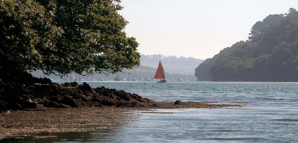
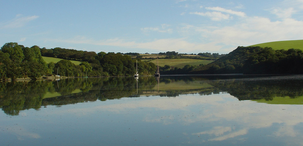
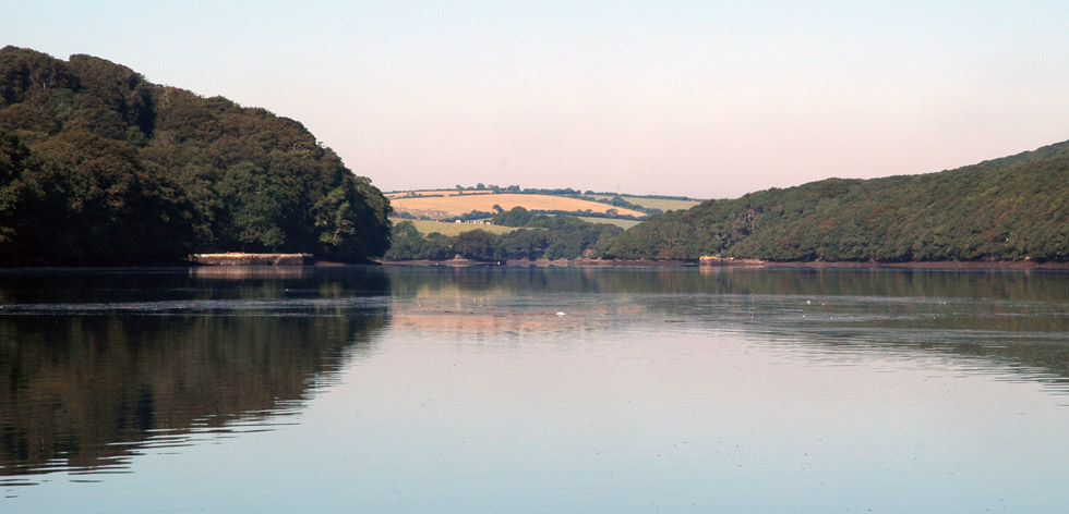
Helford River Mouth
The mouth of the Helford has seen a number of wrecks of vessels seeking sanctuary in the river during rough seas. The cargo vessel ‘Milford’ was lost in 1801 losing a cargo or iron; the barge ‘Maggie’ founded in 1928 with a loss of 26 tonnes of stone and no prospect of salvage; and the ‘Rock Island Bridge’, an American steamship collided with another ship off the Lizard in 1920. It was towed to the mouth of the Helford where it fell on its starboard side. Attempts to right the ship failed and it was reduced by explosives. The ‘Rock Island Bridge’ is a sanctuary for an abundance of fish and a popular dive site.
Offshore from the mouth of the Helford there are small beds of maerl; a rare, slow-growing, calcified seaweed. Maerl provides shelter for a variety of other life including fish and the young stages of animals that later colonise other areas of the seabed. Maerl can also be found upriver.
Dead maerl which has accumulated in substantial quantities in various parts of Fal bay, not far from the mouth of the Helford, also provides an interesting although more mobile habitat.
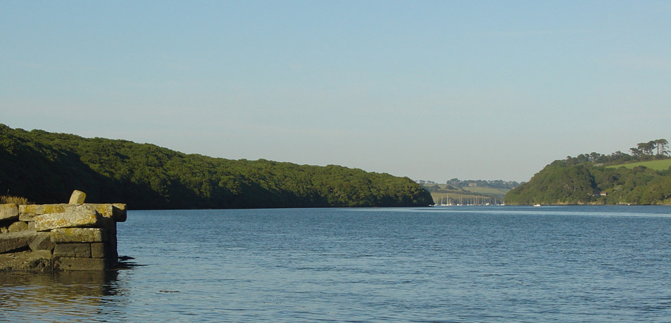
Dennis Head
Dennis Head forms the northern side of Gillan Creek and is a corruption of the Cornish Dinas meaning castle. This tallies with the remains of an Iron Age cliff castle found on the headland. The castle was refortified in 1643 as a Royalist civil war fort and these remains can clearly be seen today.
Divers occasionally use the river in adverse weather conditions or for the practice dives mainly near the mouth where the water is less turbid. There is only one wreck of note within the River, namely the ‘Rock Island Bridge’ in 7m CD just north of Dennis Head.
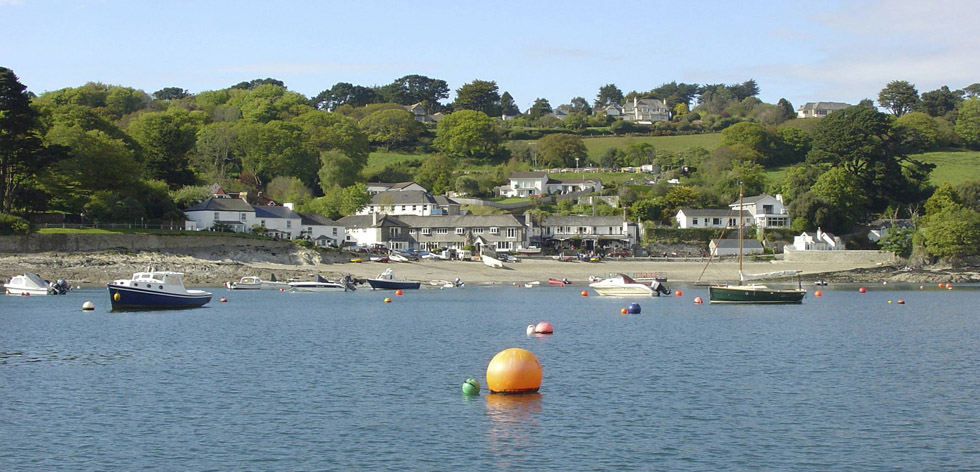
Helford
Helford and Treath represent the oldest area of concentrated settlement on the estuary. Many buildings were associated with maritime industry but today most are used as holiday lets. The Shipwrights Arms dates back to the 18th century and would have made the most from trade with passengers waiting for the ferry to Helford passage which is thought to have linked the two sides of the estuary since medieval times.
Treath
The shores of Treath are a mixture of sand and mud and have a rich infauna (creatures living in the mud rather than on top of it). Of particular interest are the worm populations such as delicate tubeworms.
Treath is well known for its cockle beds. On Good Friday each year local people descend to the shores of the river to collect cockles and other shellfish. This tradition is known as ‘trigging’.
Durgan
The hamlet of Durgan owes its existence to the fishing industry. The large fish cellar on the beach front is shown in the 1840 tithe map, but was demolished in 1876 to build the school house, previously held in the loft of the fish cellar.
Eelgrass is the only British flowering plant to be found growing in the sea and can be found off Durgan and Grebe Beach. Tufts of green leaves arising from underground stems provide important shelter for crabs, anemones, and young fish whilst cuttlefish, sea hares and sea lemons use it to anchor their eggs. Perhaps one day the fascinating little sea horse will return. Recently concern has arisen that boat anchors and chains are ripping up patches of eelgrass, so attempts are being made to persuade boat owners to anchor elsewhere in the estuary.
Around the corner from Durgan lies the privately owned Trebah beach. Trebah was the main focus of wartime activity on the Helford. The D-Day embarkation pier has now gone but the concrete pill box and military road still exists.
Bar Beach
Above the narrows at Helford Passage, the river is more sheltered and some sedimentation occurs. The shore at Bar Beach is a mixture of sand and mud and has a rich infauna (creatures living in the mud rather than on top of it). Of particular interest are the worm populations such as delicate tubeworms. The precisely built sand tubes of the sand mason worm can be seen protruding from the mud, and the peacock worms can be seen spreading their fan-like tentacles in shallow water to catch food.
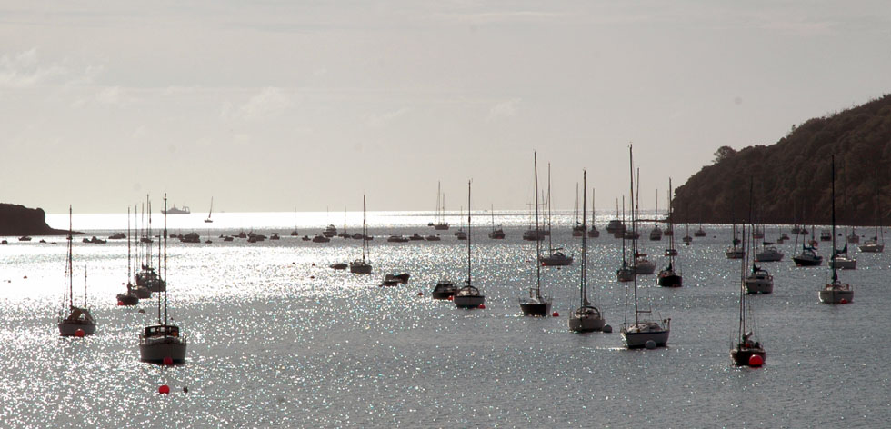
The ferry linking Helford village and Helford Passage is thought to be medieval, if not earlier. In later years a horse boat ran from Bar Beach complementing the ferry. Wagons and carts were loaded onto the ferry while horses had to swim behind on a long rope.
Helford Passage has seen substantial residential growth within the last 100 years, although the original coastguard cottages and watch house still stand.
Port Navas
Port Navas was the site of early Iron Age activity, but saw considerable expansion during the 20th century with the construction of Higher Quay, its access road and lime kilns. The quay was used to offload lime and ship stone form the granite quarries around Constantine.
The Helford is famous for its shellfish, particularly oysters that are still fattened by the Duchy Oyster Farm at Port Navas. A mixture of the native flat oyster (Ostrea edulis) and the faster growing pacific oyster (Crassostrea gigas) are cultivated in the river.
Historically there have been no extensive mining complexes in the immediate vicinity of the Helford River area but the presence of numerous adits indicates a number of small ventures. The small copper, silver and tin mines of Wheal Vyvyan, Wheal Inow, and Wheal Anna Maria off Port Navas Creek are the best documented.
Merthen
Merthen Woods, where the trees touch the water, is an example of ancient coppiced oak woodland and is a Site of Special Scientific Interest (SSSI). It stretches for two kilometres along the north shore of the Helford, occupying the peninsula between the main river and Polwheveral Creek, and is one of the largest remaining oak woodlands in Cornwall. There is no public access to the wood, but it can be enjoyed from the river.
There is evidence of activity at Merthen since the Bronze Age and the medieval settlement was first mentioned in 1186. The deer park is believed to have been emparked before 1500 with the ditch largely traceable over its full extent.
Tremayne Quay was built in 1846 to receive the royal yacht and a visit from Queen Victoria and Prince Albert. Unfortunately, bad weather caused the visit to be cancelled and as a consolation the Queen sent a marble bust of herself. Her great grandson, Edward, Duke of Windsor, favoured the quay with a belated royal visit in 1921.
Gillan Creek
Within pretty Gillan Creek is the ancient church at St. Anthony which dates from the 12th century, although the site was possibly a Celtic monastery before the church was built. A flint scraper, unworked flints and a greenstone axehead found around St. Anthony give evidence of prehistoric activity in this area.
The Herra, a small promontory of land at Gillan, is believed to be the site of two Bronze Age barrows where intact urns have been found. It is also the possible location of an Iron Age cliff castle.
Inland from Gillan Creek lies Manaccan village, famous for its church with a 200 year old fig tree growing out of its stone walls.
Gillan is also well known for its cockle beds and on Good Friday each year local people can be seen collecting these shellfish at low tide, a tradition called ‘trigging’.
Frenchman’s Creek
Despite its reputation as the perfect hideaway, Frenchman’s Creek has seen considerable activity and had a total of four quays lining its banks at one stage.
The narrow Frenchman’s Creek is famous for its literary connections with Daphne Du Maurier. Her romantic novel ‘Frenchman’s Creek’ was first published in 1941.
Polwheveral Creek
Polwheveral Creek is the largest creek and all surrounding hamlets have been occupied since medieval times. There are two possible mill sites and a blowing house dominating the head of the creek, along with a large stone embankment known as the Ramshire. This dam could be for tin streaming, a swan pool, or a sluice pool to help keep the channel clear downstream.
Scots Quay, on the corner of Polwheveral and Polpenwith creeks, was originally built in the first half of the 19th century as a granite shipping quay.
Polwheveral Creek dries at low tide to reveal large areas of mud flat, an ideal feeding ground for numerous birds.
Gweek
The larger riverside commercial interests are at Gweek, which is the lowest bridging point on the river. It was once a trading port serving Helston and the surrounding areas.
The settlement of Gweek is first recorded in 1201 and by the 14th century had become the main port for Helston. It had a range of quay, wharfs and cellars. The port was still used to unload coal and timber until the 1980’s. The National Seal Sanctuary at Gweek is a popular tourist attraction. It is a home and hospital for seals and other marine life rescued from the surrounding seas. Rescued seals are revived and eventually returned to the wild.